|
EAST CRAZY MOUNTAINS PUBLIC ACCESS
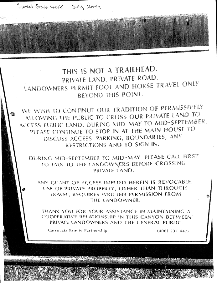
The Crazy Mountains in Montana have been a public access hotbed, beginning in 1940. As then Forest Service Supervisor G. E. Martin writes detailing the variety of uses documented in the historic Crazy Mountains, including mining, timber, grazing, trappers, hunters and recreation, "At no time was travel over the roads and trails restricted until October 1940 when Van Cleve locked the gate during the hunting season. In 1941 this was done again. In 1942 the gate was again locked before the opening of the hunting season and was still locked on April 24, 1943." I requested a FOIA from the Custer Gallatin National Forest for documents relating to the public access situations in the East Side of the Crazy Mountains in the fall of 2016, as well as a current one for the transfer situation of Alex Sienkiewicz, the former Yellowstone Ranger District involving documents from the Montana Farm Bureau, Montana Outfitters and Guides (which land owner Chuck Rein is the Vice President of), a number of local landowners, including the Sweet Grass County Attorney Pat Dringman's wife, Page Carroccia Dringman to Senator Steve Daines. Due to increasing access obstructions and
conflicts in the Crazy Mountains,
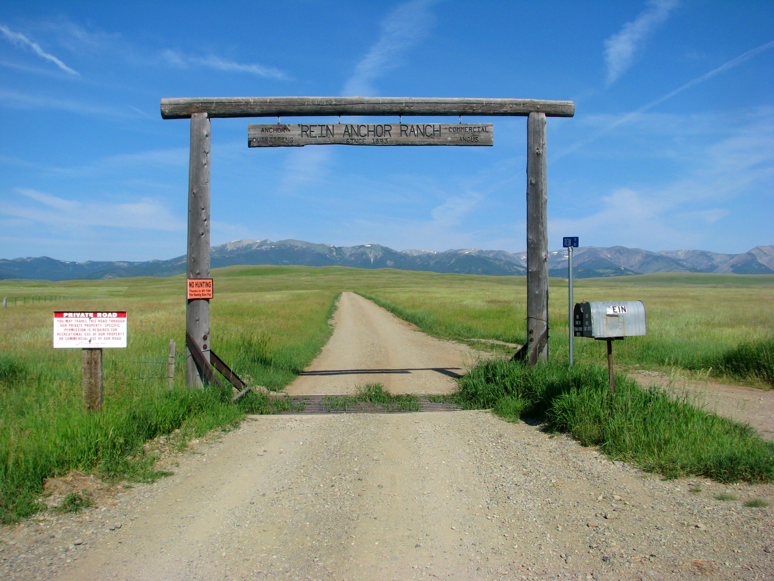
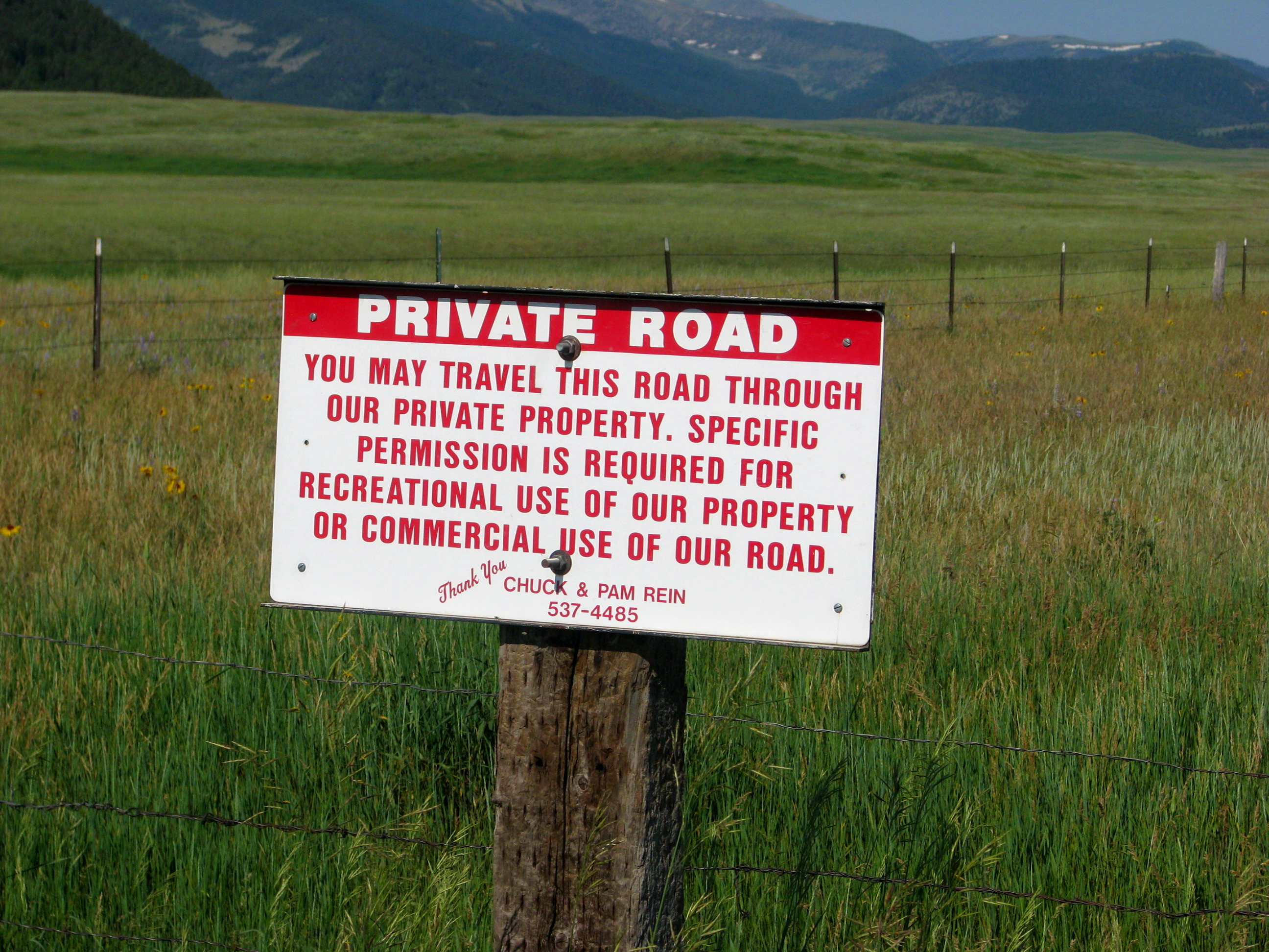
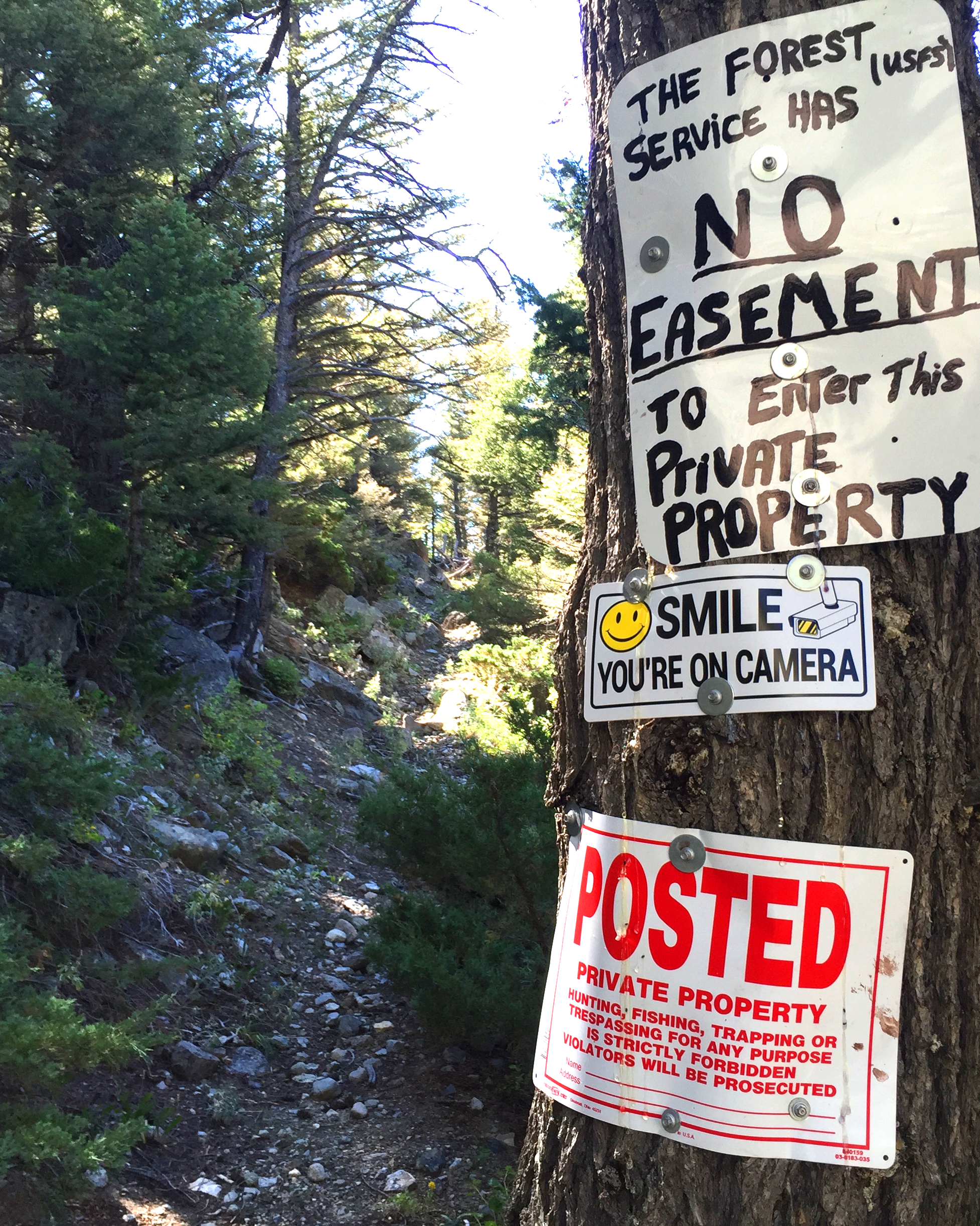
The east-side Crazy Mountains obstruction involves 2 trails and a road. From the northeast end, you first have to get thru an arched gateway. The road used to be called Sweet Grass Road, per older maps and county records. Later outfitting landowner Chuck Rein, changed the sign to a private road sign - Rein Lane. He installed a private road sign saying landowner permission was required for commercial or recreational use. I have Railroad Grant Deeds for this road showing, "easement in the public for any public road heretofor laid out or established, and now existing over and across any part of the premises."
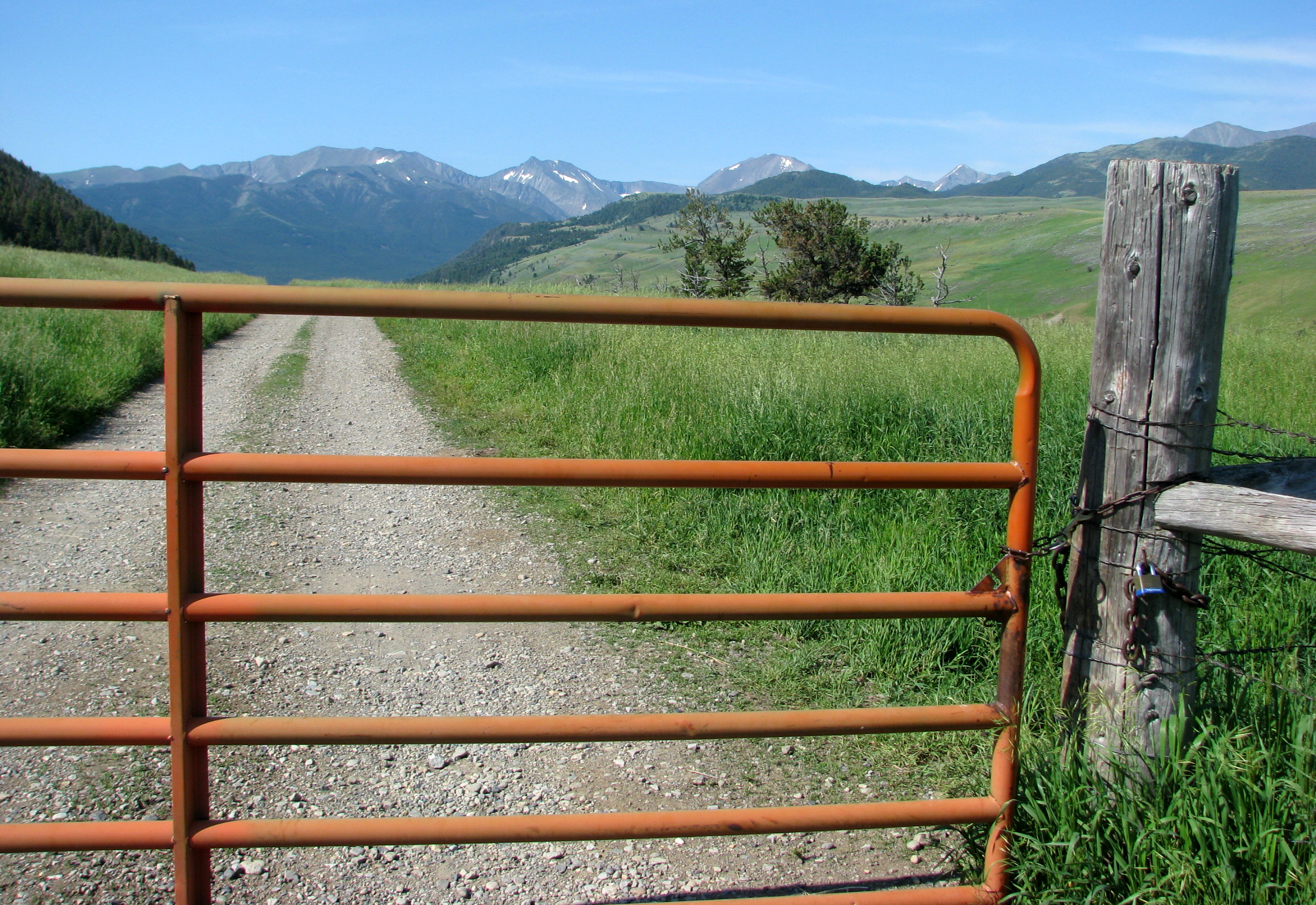
After you get thru the obstructing arch, you then encounter the first gate, which has been locked during hunting seasons to keep public hunters out. The landowners on the road have shared keys. Some landowners further down the road have written formal statements to the Forest Service saying the road has always been public, even provifing receipts of public monies used for maintenance.
From Sweet Grass Creek Trail #122, the northern end of the East Trunk Trail #115/136 begins, going south, connecting to the Big Timber Canyon Road, where a Ranger Station used to be. Van Cleve also owned property down there, cutting off public access, which began litigation in 1948. After trying to delay the court for many years with his ranch work, Van Cleve finally signed an official Forest Service easement in 1954, ending the public access obstruction on that end. Some of the land was sold to Langhus, who then began his own obstruction of Trail #115/136, posting signs.
|
Enhancing Montana's Wildlife & Habitat
|
Copyright © 2020 Enhancing Montana's Wildlife & Habitat (EMWH) reserves the rights for images, other graphics, videos (visual media), excluding maps, at this site. You may not reproduce any of the visual media content on this website, without the permission from EMWH. Visitors are strictly prohibited from using EMWH's Website and its Content for fraudulent, illegal, threatening, libelous or defamatory purposes, or any communications and/or materials that could give rise to civil or criminal liability under law." |
Site designed and maintained by Kathryn QannaYahu
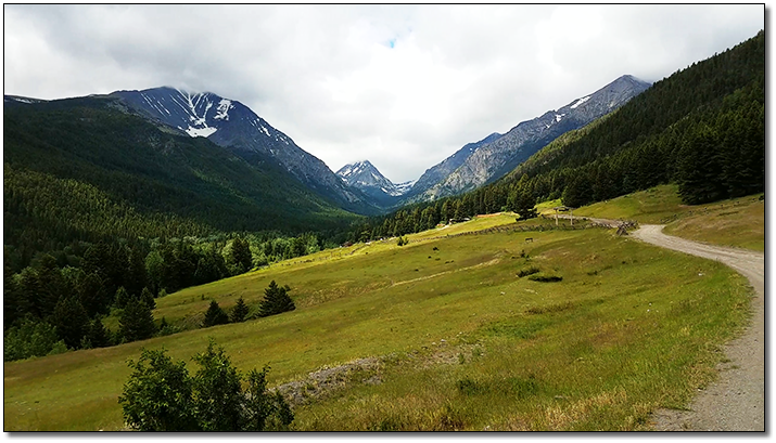 Big
Timber Canyon Road - East Side Crazy Mountains